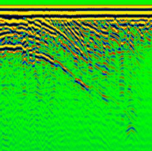
Profiling of a sandy hill
BackProfiling of a sandy hill. Movement of a georadar was from the foot of the hill (left) to its top (right). Therefore, signals from the grown water table and various boundaries are drifting down. A major nonuniformity is recorded almost at the top of the hill, at the depth of 35 m. Sounding frequency: 38 MHz. Location area: vicinity of Lilaste lake, Latvia.
All detailed information you can find ...
